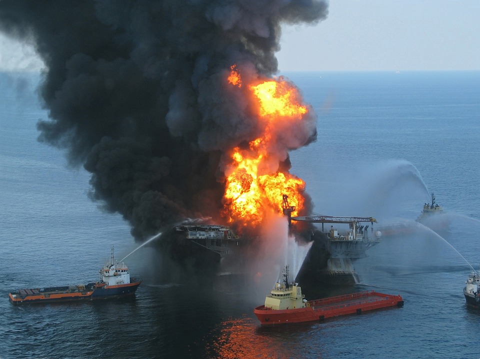
Deepwater Horizon oil spill, the biggest offshore spillage of oil in America, is suspected to have traveled gradually to the Florida Keys. According to Journal Science Advances, 210 million gallons of spilled oil happened on the Deepwater Horizon.
With the help of modern technology; remote sensing data and new techniques of modeling, scientists from Miami University School of Marine and Atmospheric Science found out that the full scope of the invisible oil spill was not covered entirely by satellite images.
The scientists reiterate that the spill could be 30% more than the extent covered by the satellite’s images. The reason behind the acronym, ‘invisible oil’ came from the fact that the spillage was on the ocean’s bed and therefore satellites would not capture it.
Researchers warn on the hazard of killing marine life
Berenstain, a researcher from the University of Miami said that the Deepwater Horizon oil spill was only clear for satellite capture above certain concentrations of oil leaving other percentages unaccounted.
In as much as the Deepwater Horizon oil spill was not concentrated on the surface, the researchers warned that it was hazardous and likely to kill marine life. The invisible oil spill was adversely toxic enough to destroy half of marine life on its way. The researchers say that the new findings will be objective in case of any oil spillage in the future.
The study further informs that checks should be extended to the water columns where water currents are in separation with the circulations on the upper sections.
Deepwater Horizon oil spill need tracking with models
According to the research published in the peer-reviewed journal science advances, the new approach is of critical importance given the worldwide increase in deepwater drilling activities.
Paris and colleague scientists from the University of Miami tested sediment and water samples, coupled with the aerial satellite images and created models to determine how the oil traversed through the water in the course of time. Although the spillage happened 10 years ago, the researchers have a more comprehensive view of the damage on the gulf and they advise the government on stretching out the scope from not relying on satellite images alone but also models to determine the length that oil travels after a major spillage.
There have been advancements in satellite use since the Deepwater Horizon oil spill and they still do a great job in analysis and assessment of oil spills especially in areas that humans cannot access to do physical measurements. It also remains the cheaper option to take than deploying humans to the field.


